Caribbean Islands
Anguilla
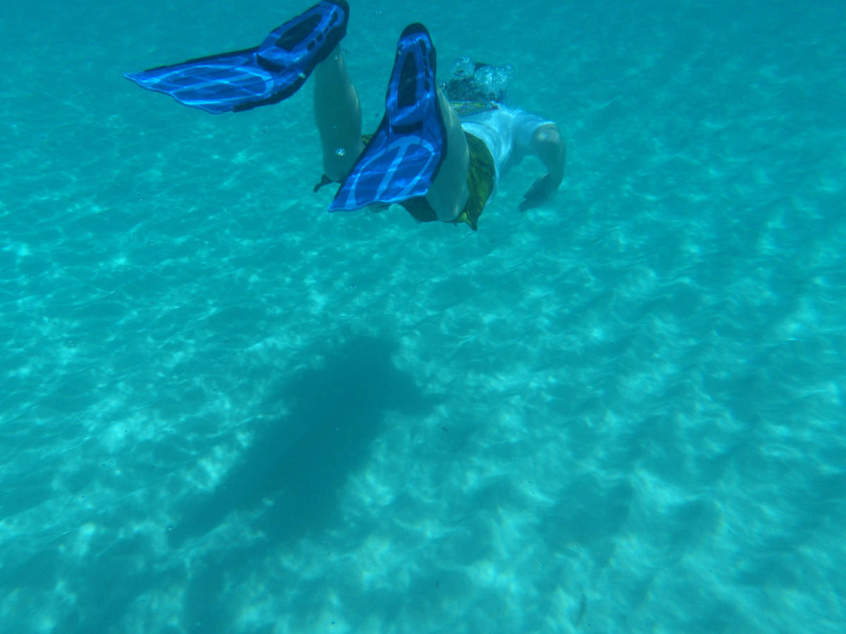
The island Anguilla is a British overseas territory in the Caribbean, the most northerly of the Leeward Islands in the Lesser Antilles. The main island is Anguilla, approximately 26 km long and 5 km wide, with an area of 91 km². It is surrounded by a number of much smaller islands and cays with no permanent population.
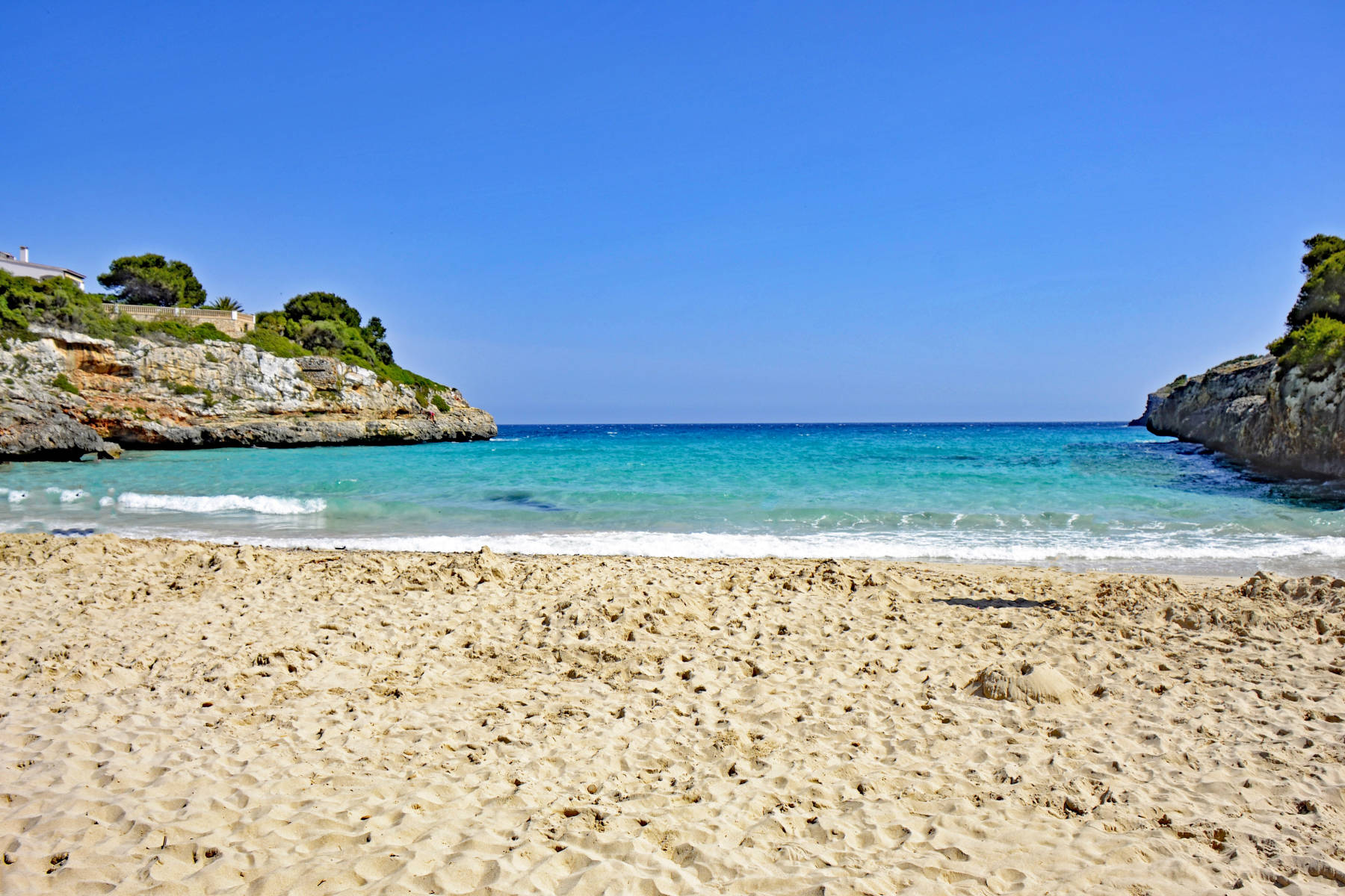
Anguilla is flat and low-lying and consists of rather young coral reef limestone. The island is of volcanic origin, but the volcanic core is covered by massive layers of limestone. The soil is generally thin and poor, supporting scrub, tropical and forest vegetation. With only 890mm of rain per year the island is rather dry. There are no rivers or lakes on the surface as the whole island is karstified.
While the whole island is karstified and drains underground, the groundwater mixes with sea water along the coastline. As a result the bigger caves are located at a certain distance from the sea and are a result of mixture corrosion. The mixing of sweet water with sea water increases . The island has more than 40 caves, most of them very small. Some of the bigger caves are notable for for palaeontological and archaeological remains.
 Big Spring
 Cavannagh Cave
 Fountain Cavern
 Search Google for "Anguilla"
 The Anguilla Guide - A comprehensive directory - Caves and Holes
 Index
Index Topics
 Hierarchical
 Countries
 Maps
Maps Search