Schwäbische Alb
Schwabian Jura
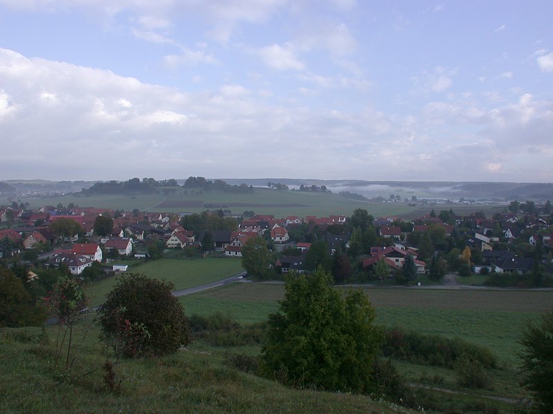
The Swabian Jura is a German highland or Mittelgebirge.
The northern rim of the Swabian Jura is called Albtrauf.
It is the highest and most impressive cliff or escarpment of the
 South German Scarplands.
The layers of the plateau are sloping with a dip of about 3° to the South.
The southern border of the Swabian Jura is marked by the river
South German Scarplands.
The layers of the plateau are sloping with a dip of about 3° to the South.
The southern border of the Swabian Jura is marked by the river
 Danube, which flows where the jurassic layers become covered by much younger molasse sediments.
The width of the Swabian Jura from north to south is about 30 km, the length from the Nördlinger Ries, an meteorite crater with a diameter of 25 km) to the Swiss border in the southwest is about 180 km.
Danube, which flows where the jurassic layers become covered by much younger molasse sediments.
The width of the Swabian Jura from north to south is about 30 km, the length from the Nördlinger Ries, an meteorite crater with a diameter of 25 km) to the Swiss border in the southwest is about 180 km.
The rocks of the Swabian Jura are Jurassic carbonate sediments. They are the divided into three parts:
- The Lias (local name Black Jura or Lower Jura)
This oldest and deepest Jurassic layers can only be found along the foot of the Malm-escarpment. The layers are rather soft, so they form only very small escarpments. The Lias contains a very large amount of fossils. Most fossils are Ammonites and Belemnites, but most famous are the petrified Ichtiosaurus and Sea Lilies. The most impressive fossiles are on display in the Hauff-Museum in Holzmaden. The Lias has no caves, as the limestone contains high amounts of silt and biogene bitumen making it impermeablt to water. - The Dogger (local name Brown Jura or Middle Jura)
Got its local name from the high amount of brown iron ore. The oolithic iron ores were mined, for example in the mine Tiefer Stollen
in Aalen Wasseralfingen.
It produces a bigger escarpment, but still it is dominated by the huge Malm escarpment.
It shows only few, small and rather young caves, primarily because of the geographic situation.
Tiefer Stollen
in Aalen Wasseralfingen.
It produces a bigger escarpment, but still it is dominated by the huge Malm escarpment.
It shows only few, small and rather young caves, primarily because of the geographic situation.
- Malm (local name White Jura or Upper Jura)
This huge layers of very pure, white limestone form the most impressive escarpment in south Germany, nearly 180 km long and up to 300 m high. The cliff is called Albtrauf in German. The Malm layers are mostly limestone CaCO3, some small areas are made of Dolomite CaMg(CO3)2.
The plateau of the Swabian Jura is formed by Malm limestones. Nearly all caves of the area are in these layers, all the show caves in the list below are located in Malm rocks. The Geography is not only essential for the formation of caves, but also for their accessibility. Weathering cuts through caves and makes them accessible for animals and man.
- At the cliff and in its valleys, many fossil caves can be found.
This caves are high above the water table.
Most of them are horizontal caves with only one main passage.
As the slope is very steep, they are often hard to access.
A typical example is the
 Schillerhöhle or Schillingshöhle.
- At the end of valleys karst springs emerge from river caves.
They are located on the ground water table and are either filled with water or contain a subterranean river.
One of those caves is the
Falkensteiner Höhle
and the nearby Elsachbröller,
both belonging to a cave system which was cut through by the valley.
- On the plateau a typical karst feature,
dry valleys,
are very common.
These valleys were formed when the drainage of this area was much higher, and the water was still flowing on the surface.
Later the drainage lowered with the erosion of valleys from the Rhine and the Danube, and the valleys became dry.
In the ice ages those valleys were reactivated.
The permafrost soil was water-resistant as all cracks were filled with ice.
This shallow valleys also cut through cave systems. But those caves are normally smaller. Very typical examples can be found in theLone Valley.
These caves are located at the slopes of the valley and have always been easy accessible and thus been a good place for stone age man.
World-famous archaeological finds were made in this type of caves.
- Other caves on the plateau itself are very rare. They were normally found in the last 100 years by man, because of construction work. Many private houses have a small cave below. They are mostly vertical caves. As they are discovered very lately, most of them are in a good state. They do not have the typical pollution of long known caves: ashes from torches, candles or open fire, broken speleothems and rubbish. But some of those caves were used to dump liquid waste, but since all towns of this area have purification plants, this kind of pollution is history.
- The southern border of the Swabian Jura is marked by the river Danube.
And although this is the shallow side of the escarpment, the valley of the danube also opened some caves, like the cliff in the
north and the dry valley on top of the plateau.
Very famous is the
Blau Valley,
a former bed of the Danube.
Like the Lone Valley it is famous for its archaeological remains.
- Sights of This Region
 Aach Spring
- Aufberger Loch
 Bären- und Karlshöhle
- Brenztopf
- Burghöhle Dietfurt
- Doline trail Hengen
- Danube Sink
- Dreieingangshöhle
- Falkensteiner Höhle
- Finsteres Loch
- Göpfelsteinhöhle
- Große Scheuer
- Gußmannshöhle
- Gutenberger Höhle
- Heimensteinhöhle
- Speleological Museum
- Hohler Stein
- Hülbener Tropfsteinhöhle
- Kahlensteinhöhle
- Karst trail Laichingen
- Kocherursprung
- Kolbinger Höhle
- Laichinger Tiefenhöhle
- Linkenboldshöhle
- Mordloch
- Mühlheimer Höhle
- Nebelhöhle
- Ofnethöhlen
- Olgahöhle
 St. Salvator
- Schertelshöhle
- Schillerhöhle oder Schillingshöhle
- Schopfloch Swamp
- Sieben-Täler-Höhle
- Steinernes Haus
- Sontheimer Höhle
- Tiefer Stollen
- Uracher Tropfsteinhöhle
- Urach waterfall
- Vogts Grub
- Friedrichshöhle
- Wulfbachquellhöhle
- Zwiefaltendorfer Tropfsteinhöhle
- Blau Valley
- Blautopf und Blautopf cave
- Brillenhöhle
- Geißenklösterle
- Große Grotte
- Hohler Fels bei Schelklingen
- Schmiechen Lake
- Schmiechquelle
- Sirgensteinhöhle
- Museum Ulm
- Urspring
- Lone Valley
- Bocksteinschmiede
- Charlottenhöhle
- Fohlenhaus
- Hohlenstein
- Hungerbrunnen
 Lionheaded Figurine
- Lonetopf
- Loneversickerung
- Museum Ulm
- Vogelherdhöhlen
Literatur
- Hans Binder (1989):
Höhlenführer Schwäbische Alb,
Höhlen - Quellen - Wasserfälle.
Konrad Theis Verlag, Stuttgart und Aalen, 1989, 3. Auflage, ISBN: 3806204993
A real classic that describes the Swabian Alb cave region in detail. The flexible, water-repellent cover makes it a practical companion on every hike.
 bei Amazon.de
- See also
 Search DuckDuckGo for "Swabian Jura Karst"
 Swabian Jura - Wikipedia (visited: 01-JUN-2025)
- Cave Hunting (Armchair and surface caving) in the Schwäbische Alb, The Craven Pothole Club Record, Number 48, October 1997
- Nature (visited: 01-JUN-2025)
- URWELT-MUSEUM HAUFF IN HOLZMADEN (visited: 01-JUN-2025)
 Index
Index Topics
 Hierarchical
 Countries
 Maps
Maps