
Mauritius

Mauritus is a group of two islands in the Indian Ocean between Africa and India. They are a former overseas territory of France, but today they are an independent state. Together with nearby La Réunion they are called the Mascarene Islands. Mauritius has 1825 km² and Rodrigues has 110 km². The islands are 560 km apart. Together they have a population of just over a million people. Most live on Mauritius, Rodrigues has only 40,000 inhabitants, mostly the descendants of African slaves, and a European and Tamil minority.
These islands were formed by volcanism, which started about 13 Million years ago, on the southern end of the Mascarene Plateau. A hotspot produced first Rodrigues, then Mauritius, and finally La Réunion, which still has active volcanism. The apparent movement of the hotspot is actually the result of a fixed hotspot over which the crust is slowly moving. The result is a chain of islands with a young, volcanically active island at one end and progressively older islands from here that are no longer active.
The caves on Mauritius Island are volcanic caves, most of them lava tubes. The last eruption happened 26,000 years ago, so this is the minimum age of the lava caves. As lava caves are rather short-lived, this age is exceptional. In the year 2000, 140 caves were known, with a sum of 16.5 km of cave passages. This was the result of an expedition by Greg Middleton and Jörg Hauchler in 1998. The Caves of Mauritius Project 1998 was actually supported by the Mauritian government. As a result, development works in caves such as Twilight, Princess Margaret, Women’s Cave, Pont Bon Dieu and also those in the region of Vacoas, have been carried out to make those places more attractive and accessible to the public.
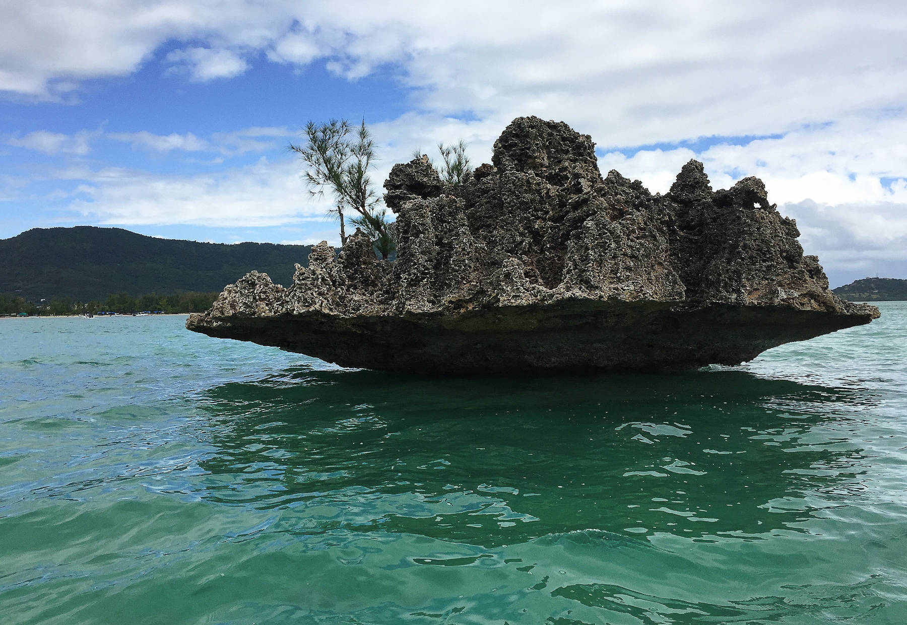
Rodrigues Island is a volcanic island 18 km long and 8 km wide. While it is basaltic at its core, the south-western part of Rodrigues and its fringe on other sides are covered by a thick layer of calcarenites. The island is surrounded by coral reefs, which form a limestone belt around the island. On the western side the reef has moved away from the coast over several thousand years of growth, to result in the current barrier reef. Huge areas of the reef fall dry during low tide, and during the last glaciation the reef was completely dry. Limestone sand resulting from the marine erosion of the coral reef or from foraminifera was blown to the island and accumulated in dunes. This limestone sand grains were solidified by carbonic acid in the rainwater, which dissolved and precipitated limestone creating the coarse-grained sandstone called calcarenites. The rock is also called an aeolianite, which more or less means a rock formed by wind, and is a more general term. The limestone is used for various purposes like building houses, it is soft enough, that men can cut big pillars using saws.
The calcarenites are dissolved by groundwater, like in other karst areas, producing quite massive caverns with an abundance of speleothems. In a way the calcarenites are more easily dissolved than other kinds of limestone, so the cave development is faster and the caves are bigger than in other karst areas. There are 25 calcarenite caves on the island, two of them are developed as show caves.
Literature
- Gregory J. Middleton (1998): Lava caves of the Republic of Mauritius, Indian Ocean, International Journal of Speleology, 27: 87-93. online DOI
- Sights of Mauritius
 La Cave Madame
 Pont Bon Dieu Jardin Cave
- Roche Noire Lava Tubes
- Twilight Caverne
- Sights of Rodrigues
- François Leguat Giant Tortoise and Cave Reserve
- Caverne Patate
Literature
- Greg Middleton (1999): Cave management in Mauritius, ACKMA Journal No 36, September 1999, pp 3-10. online
- Gregory J. Middleton (2007): Conserving the Lava Caves of Mauritius: The Caves of Mauritius Project 1998, IXth International Symposium On Vulcanospeleology, pp 200-207.
- Anthony Cheke, Julian P. Hume (2010): Lost Land of the Dodo: The Ecological History of Mauritius, Réunion and Rodrigues, Bloomsbury Publishing, Juni 2010. google books
- Gregory J. Middleton (1998): Lava Caves of the Republic of Mauritius, Indian Ocean, International Journal of Speleology, 2 (7), pp. 87-93, 1998.
- Julian Hume (2013): A synopsis of the pre-human avifauna of the Mascarene Islands Paleornithological Research 2013, Proceed. 8th Internat. Meeting Society of Avian Paleontology and Evolution, Vienna researchgate
 Map of Mauritius
 Search DuckDuckGo for "Mauritius"
 Speläologisches auf Mauritius by Franz Lindenmayr
  (visited: 22-FEB-2026)
 Index
Index Topics
 Hierarchical
 Countries