Red River Gorge
Useful Information

| Location: |
3451 Sky Bridge Rd Hwy 715, Stanton, KY 40380.
(37.833889, -83.607778) |
| Open: |
no restrictions. [2022] |
| Fee: |
free. [2022] |
| Classification: |
 Gorge Gorge
|
| Light: | n/a |
| Dimension: | |
| Guided tours: | self guided |
| Photography: | allowed |
| Accessibility: | no |
| Bibliography: |
Zoe Strecker (2007):
Off The Beaten path: Kentucky, A Guide To Unique Places,
Connecticut: Globe Pequot Press, ISBN-10: 0762751371, ISBN-13: 978-0762751372.
Wendell Berry (1971): The Unforeseen Wilderness, The Hudson Review, Vol. 23, No. 4 (Winter, 1970-1971), pp. 633-647 (19 pages). jstor DOI pdf |
| Address: | Gladie Visitor Center, 3451 Sky Bridge Rd Hwy 715, Stanton, KY 40380, Tel: +1-606-663-8100. |
| As far as we know this information was accurate when it was published (see years in brackets), but may have changed since then. Please check rates and details directly with the companies in question if you need more recent info. |
|
History
| 1910-1912 | Nada Tunnel built. |
| FEB-1937 | Red River Gorge Geological Area established. |
| 1955 | Sky Bridge filming location for The Kentuckian, starring and directed by Burt Lancaster. |
| 1962 | Great Flood of Clay City, the worst seen in 102 years. |
| 18-NOV-1967 | Dam Protest Hike at the Clifty Wilderness area junction of Swift Camp Creek and the Red River, Highway 715. |
| 03-DEC-1993 | Red River becomes part of the National Wild and Scenic River system. |
Description

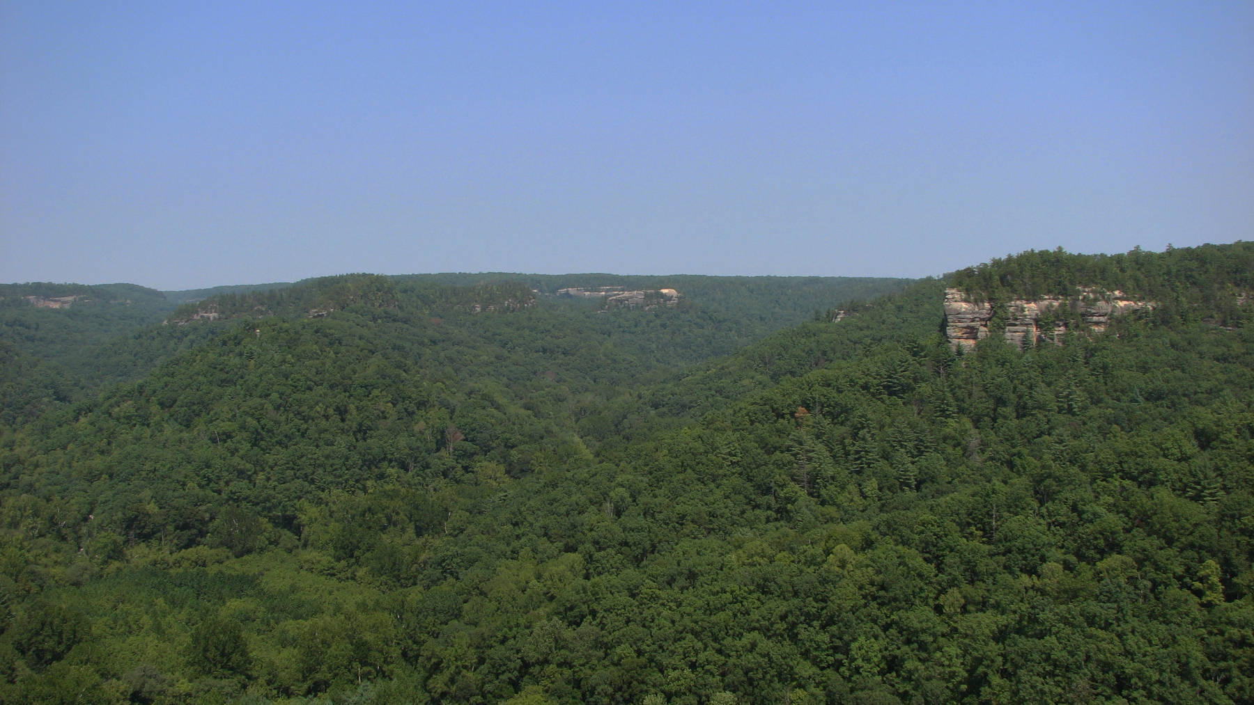
Red River Gorge is actually not a gorge, it is a forested valley and part of the Daniel Boone National Forest. But it is special for a great number of escarpments, cliff faces, shelters and arches. However, all those sites are spread along Red River over almost 20 km. There are numerous parking lots and trailheads, and for most rock formations, a small hike is required. But there is no narrow gorge, the Americans call them Slot Canyons, in this area.
Red River was named after its reddish colour, a result of the red sand from the sandstone rocks it transports. However, the colour changes over the year. The tendency to flood offered downstream residents much misery. After the worst flood in 1962, called Great Flood of Clay City, the construction of a flood control dam was planned and approved. But while the Army Corps of Engineers already started the construction a group of people opposed to the construction of the dam. The Dam Protest Hike drew local and national attention to the situation. The struggle of wills lasted several decades, and was finally ended with Red River’s entry into the National Wild and Scenic River system.
As there is not a single location, we have listed the location of Gladie Visitor Center, the central Visitor Center of the Red River Gorge Geological Area. They offer information on any trail in the area. The trailheads are located along Highway 715 Sky Bridge Road, or on one of the few branch offs.
Princess Arch, Half Moon Arch, Red River Gorge Friendship Arch, Whistling Arch, Sky Bridge Arch, and Moonshiners Arch are some of the natural bridges in the area. However, some of them are actually not bridges, they are just overhanging rocks or "rock houses", it seems the name arch was given quite generously. There are an estimated 150 arches in the area, however, the estimates differ strongly. The most spectacular outlook is Chimney Top Rock, unfortunately you cannot enjoy it as you are standing on top of the rock. Probably the best place to make a selfie with a drone. But you can see the rock from the road in the gorge.
 Search DuckDuckGo for "Red River Gorge"
 Google Earth Placemark
 Red River Gorge - Wikipedia (visited: 22-FEB-2026)
 Gladie Visitor Center (visited: 22-FEB-2026)
 Index
Index Topics
 Hierarchical
 Countries
 Maps
Maps